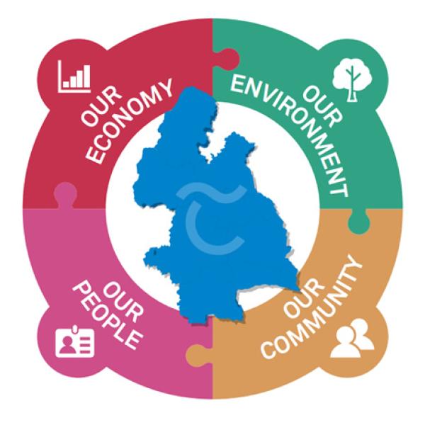
Tipperary County Council Mission Statement
“Tipperary - a vibrant place where people can live, visit and work in a competitive and resilient economy, a sustainable environment and an inclusive and active community.”
In July 2011 the Government announced the establishment of a unified county council in Tipperary. In June 2014 the unification of North and South Tipperary, including the Borough/Town Council’s of Clonmel, Carrick-on-Suir, Cashel, Nenagh, Templemore, Thurles, Tipperary and the joint library committee came into effect following the local government elections.

Geography
With a geographical area of 4,282 Sq.km and a population of 159,553 Tipperary is the sixth largest of the 32 counties by area and the eleventh largest by population. The region is part of the central plain of Ireland, but the diversified terrain contains several mountain ranges: the Knockmealdown, the Galtee, the Arra Hills and the Silvermine Mountains. The southern portion of the county is drained by the River Suir; the northern by tributaries of the Shannon which widens into Lough Derg. No part of the county touches the coast. The centre is known as ‘the Golden Vale’, a rich pastoral stretch of land in the Suir basin which extends into counties Limerick and Cork. The county is traversed by Key National arterial routes such as M7, M8, N24, as well as train lines from Dublin to Cork and Limerick, and Waterford to Limerick.
Economy
- Area – 4,282 km² (6.09% of State area & 6th largest county by area in State)
- Population – 159,553 (2016) (11th largest county by population)
- Largest Urban Centres – Clonmel (17,048) and Nenagh (8,439)
- Rural/Urban (>1,500) Population Split – 60%/40%
- Region is part of the central plain of Ireland; contains several mountain ranges; The southern part of the county is drained by the River Suir; the northern by tributaries of the Shannon which widens into Lough Derg;
- No part of the County touches the coast; The centre is known as the ‘Golden Vale’, a rich pastoral stretch of land in the Suir basin which extends into Cork and Limerick;
- County is traversed by key national arterial routes such as M7, M8,, N24, as well as train lines from Dublin to Cork and Limerick and Waterford to Limerick;
- Main economic sectors – agriculture, services, manufacturing, pharmaceutical/medical devices, tourism


